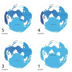
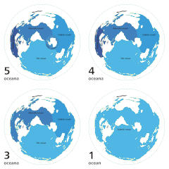
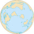
Dosya:World ocean map.gif
World_ocean_map.gif (500 × 500 pikselan, ebatê dosya: 68 KB, MIME tipê cı: image/gif, viyariye biyo, 4 çerçeveyi, 10 san)
Verêniya dosya
Seba diyayışê viyarteyê dosya ra tarixê ke qısımê tarix/zemani derê inan bıtıkne.
| Tarix/Zeman | Resımo qıckek | Ebadi | Karber | Mışewre | |
|---|---|---|---|---|---|
| nıkayên | 04:12, 8 Nisane 2007 |  | 500 - 500 (68 KB) | Quizatz Haderach | Animated world ocean map! |
Gurenayışê dosya
The following pages link to this file:
Gurenayışê dosyaya gılovere
Ena dosya wikiyanê binan de gureniyena.
- ab.wikipedia.org sero guriyayış
- am.wikipedia.org sero guriyayış
- ang.wikipedia.org sero guriyayış
- arc.wikipedia.org sero guriyayış
- ar.wikipedia.org sero guriyayış
- as.wikipedia.org sero guriyayış
- ban.wikipedia.org sero guriyayış
- ba.wikipedia.org sero guriyayış
- bcl.wikipedia.org sero guriyayış
- bg.wikipedia.org sero guriyayış
- bi.wikipedia.org sero guriyayış
- bjn.wikipedia.org sero guriyayış
- blk.wikipedia.org sero guriyayış
- bn.wikipedia.org sero guriyayış
- br.wikipedia.org sero guriyayış
- bs.wikipedia.org sero guriyayış
- bxr.wikipedia.org sero guriyayış
- ca.wikipedia.org sero guriyayış
- ce.wikipedia.org sero guriyayış
- ch.wikipedia.org sero guriyayış
- crh.wikipedia.org sero guriyayış
- da.wikipedia.org sero guriyayış
- de.wiktionary.org sero guriyayış
- el.wikipedia.org sero guriyayış
- en.wikipedia.org sero guriyayış
- Pacific Ocean
- Gulf of Guinea
- Template:Five oceans
- User:Leobold1/Research Articles/The World
- Ocean
- Arctic Ocean
- Southern Ocean
- User:Jhenderson777/Ocean
- Borders of the oceans
- User:Siva.tecz/sandbox
- User:Cruickshanks/sandbox2
- User:Rfassbind/sandbox
- Wikipedia:Meetup/DC/World Oceans Day 2015
- Wikipedia:WikiProject Limnology and Oceanography
Yê na dosya gurenayışê gıloveri tayêna bıvêne.


