Dosya:Confini della Basilicata.png
Vervênayışê ebadê: 722 × 600 piksel. Agoznayışê bini: 289 × 240 piksel | 578 × 480 piksel | 934 × 776 piksel.
Ebato oricinale (934 × 776 pikselan, ebatê dosya: 1.3 MB, MIME tipê cı: image/png)
| Na dosya depoyê Wikimedia Commons de esta u terefê proceyanê binan ra gureniyena. Cêr dê şınasiya dosyay pela mocniyeno. |
Xulasa
| Şınasnayış |
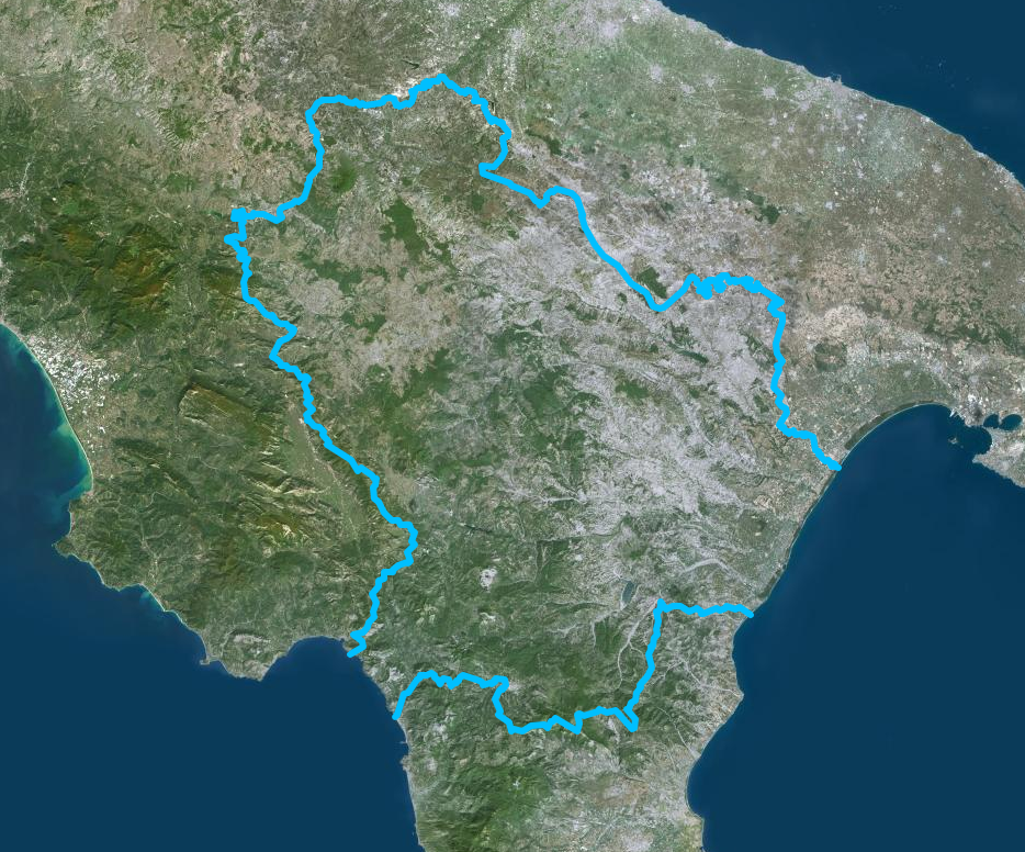
Italiano: Confini della Basilicata - Mappa di Institut géographique national |
| Tarix | |
| Çıme | https://www.geoportail.gouv.fr/donnees/photographies-aeriennes |
| Nuştekar | Institut National de l'information geographique et forestiere |
Lisans
| This file is licensed under the Licence Ouverte 1.0 (License text, English license text).
|
Verêniya dosya
Seba diyayışê viyarteyê dosya ra tarixê ke qısımê tarix/zemani derê inan bıtıkne.
| Tarix/Zeman | Resımo qıckek | Ebadi | Karber | Mışewre | |
|---|---|---|---|---|---|
| nıkayên | 13:54, 13 Temuze 2020 | | 934 - 776 (1.3 MB) | Sayatek | Uploaded a work by Institut National de l'information geographique et forestiere from https://www.geoportail.gouv.fr/donnees/photographies-aeriennes with UploadWizard |
Gurenayışê dosya
The following pages link to this file:
Gurenayışê dosyaya gılovere
Ena dosya wikiyanê binan de gureniyena.
- ar.wikipedia.org sero guriyayış
- ast.wikipedia.org sero guriyayış
- az.wikipedia.org sero guriyayış
- ca.wikipedia.org sero guriyayış
- cs.wikipedia.org sero guriyayış
- cy.wikipedia.org sero guriyayış
- de.wikivoyage.org sero guriyayış
- fr.wikivoyage.org sero guriyayış
- ga.wikipedia.org sero guriyayış
- gd.wikipedia.org sero guriyayış
- gl.wikipedia.org sero guriyayış
- he.wikipedia.org sero guriyayış
- hy.wikipedia.org sero guriyayış
- ia.wikipedia.org sero guriyayış
- id.wikipedia.org sero guriyayış
- ilo.wikipedia.org sero guriyayış
- it.wikipedia.org sero guriyayış
- ka.wikipedia.org sero guriyayış
- ku.wikipedia.org sero guriyayış
- lld.wikipedia.org sero guriyayış
- lmo.wikipedia.org sero guriyayış
- mzn.wikipedia.org sero guriyayış
- nn.wikipedia.org sero guriyayış
- no.wikipedia.org sero guriyayış
- oc.wikipedia.org sero guriyayış
- pl.wikipedia.org sero guriyayış
- ps.wikipedia.org sero guriyayış
- pt.wikipedia.org sero guriyayış
- ro.wikipedia.org sero guriyayış
- ru.wikipedia.org sero guriyayış
- sl.wikipedia.org sero guriyayış
- sr.wikipedia.org sero guriyayış
- tg.wikipedia.org sero guriyayış
- tl.wikipedia.org sero guriyayış
- tt.wikipedia.org sero guriyayış
- vec.wikipedia.org sero guriyayış
- vi.wikipedia.org sero guriyayış
- www.wikidata.org sero guriyayış