Dosya:Kilis city center.jpg

Vervênayışê ebadê: 799 × 600 piksel. Agoznayışê bini: 320 × 240 piksel | 640 × 480 piksel | 1,023 × 768 piksel | 1,280 × 961 piksel | 2,560 × 1,922 piksel | 2,969 × 2,229 piksel.
Ebato oricinale (2,969 × 2,229 pikselan, ebatê dosya: 1.27 MB, MIME tipê cı: image/jpeg)
| Na dosya depoyê Wikimedia Commons de esta u terefê proceyanê binan ra gureniyena. Cêr dê şınasiya dosyay pela mocniyeno. |
Xulasa
| Şınasnayış |
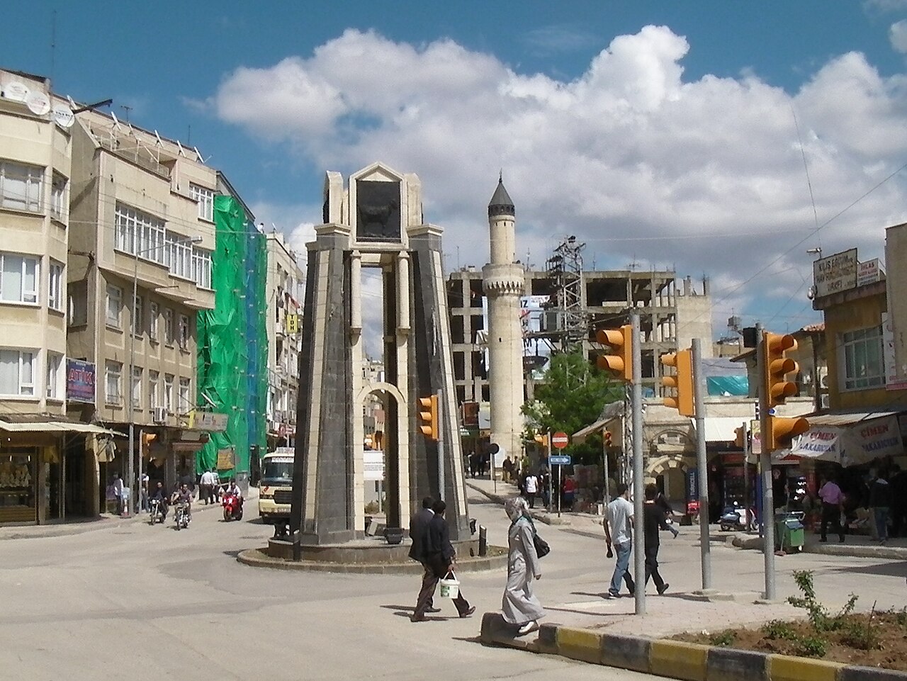
English: Photo taken at or near the center of Kilis, Turkey. Elevation here is about 663 meters. |
||
| Tarix | |||
| Çıme | Karo şexsi | ||
| Nuştekar | Brian Dell | ||
| Destur (Reyna sixulnayise ena dosya) |
|
| Camera location | | View this and other nearby images on: OpenStreetMap |
|---|
Verêniya dosya
Seba diyayışê viyarteyê dosya ra tarixê ke qısımê tarix/zemani derê inan bıtıkne.
| Tarix/Zeman | Resımo qıckek | Ebadi | Karber | Mışewre | |
|---|---|---|---|---|---|
| nıkayên | 09:59, 11 Tebaxe 2010 | | 2,969 - 2,229 (1.27 MB) | Bdell555 | {{Information |Description={{en|1=Photo taken at or near the center of Kilis, Turkey. Elevation here is about 663 meters.}} |Source={{own}} |Author=Brian Dell Bdell555 |Date=2010-04-22 |Permission= |other_versions= }} {{location dec|36. |
Gurenayışê dosya
The following pages link to this file:
Gurenayışê dosyaya gılovere
Ena dosya wikiyanê binan de gureniyena.
- ar.wikipedia.org sero guriyayış
- arz.wikipedia.org sero guriyayış
- ast.wikipedia.org sero guriyayış
- azb.wikipedia.org sero guriyayış
- az.wiktionary.org sero guriyayış
- bg.wikipedia.org sero guriyayış
- ca.wikipedia.org sero guriyayış
- ceb.wikipedia.org sero guriyayış
- ce.wikipedia.org sero guriyayış
- ckb.wikipedia.org sero guriyayış
- cs.wikipedia.org sero guriyayış
- de.wikipedia.org sero guriyayış
- el.wikipedia.org sero guriyayış
- en.wikipedia.org sero guriyayış
- en.wikivoyage.org sero guriyayış
- eo.wikipedia.org sero guriyayış
- es.wikipedia.org sero guriyayış
- fa.wikipedia.org sero guriyayış
- fi.wikipedia.org sero guriyayış
- fr.wikipedia.org sero guriyayış
- gag.wikipedia.org sero guriyayış
- he.wikipedia.org sero guriyayış
- hy.wikipedia.org sero guriyayış
- hyw.wikipedia.org sero guriyayış
- incubator.wikimedia.org sero guriyayış
- it.wikipedia.org sero guriyayış
- it.wikivoyage.org sero guriyayış
- ja.wikipedia.org sero guriyayış
- ka.wikipedia.org sero guriyayış
- ku.wikipedia.org sero guriyayış
- lt.wikipedia.org sero guriyayış
- mdf.wikipedia.org sero guriyayış
- min.wikipedia.org sero guriyayış
- mrj.wikipedia.org sero guriyayış
- ms.wikipedia.org sero guriyayış
- nl.wikipedia.org sero guriyayış
- nn.wikipedia.org sero guriyayış
- no.wikipedia.org sero guriyayış
- os.wikipedia.org sero guriyayış
- pl.wikipedia.org sero guriyayış
- pl.wikivoyage.org sero guriyayış
- pt.wikipedia.org sero guriyayış
- ro.wikipedia.org sero guriyayış
- ru.wikipedia.org sero guriyayış
- rw.wikipedia.org sero guriyayış
- sco.wikipedia.org sero guriyayış
- sh.wikipedia.org sero guriyayış
- simple.wikipedia.org sero guriyayış
Yê na dosya gurenayışê gıloveri tayêna bıvêne.