Dosya:Mount Bonnell 2008.jpg
Vervênayışê ebadê: 800 × 600 piksel. Agoznayışê bini: 320 × 240 piksel | 640 × 480 piksel | 1,024 × 768 piksel | 1,280 × 960 piksel | 2,560 × 1,920 piksel | 2,816 × 2,112 piksel.
Ebato oricinale (2,816 × 2,112 pikselan, ebatê dosya: 2.61 MB, MIME tipê cı: image/jpeg)
| Na dosya depoyê Wikimedia Commons de esta u terefê proceyanê binan ra gureniyena. Cêr dê şınasiya dosyay pela mocniyeno. |
Xulasa
| Şınasnayış |
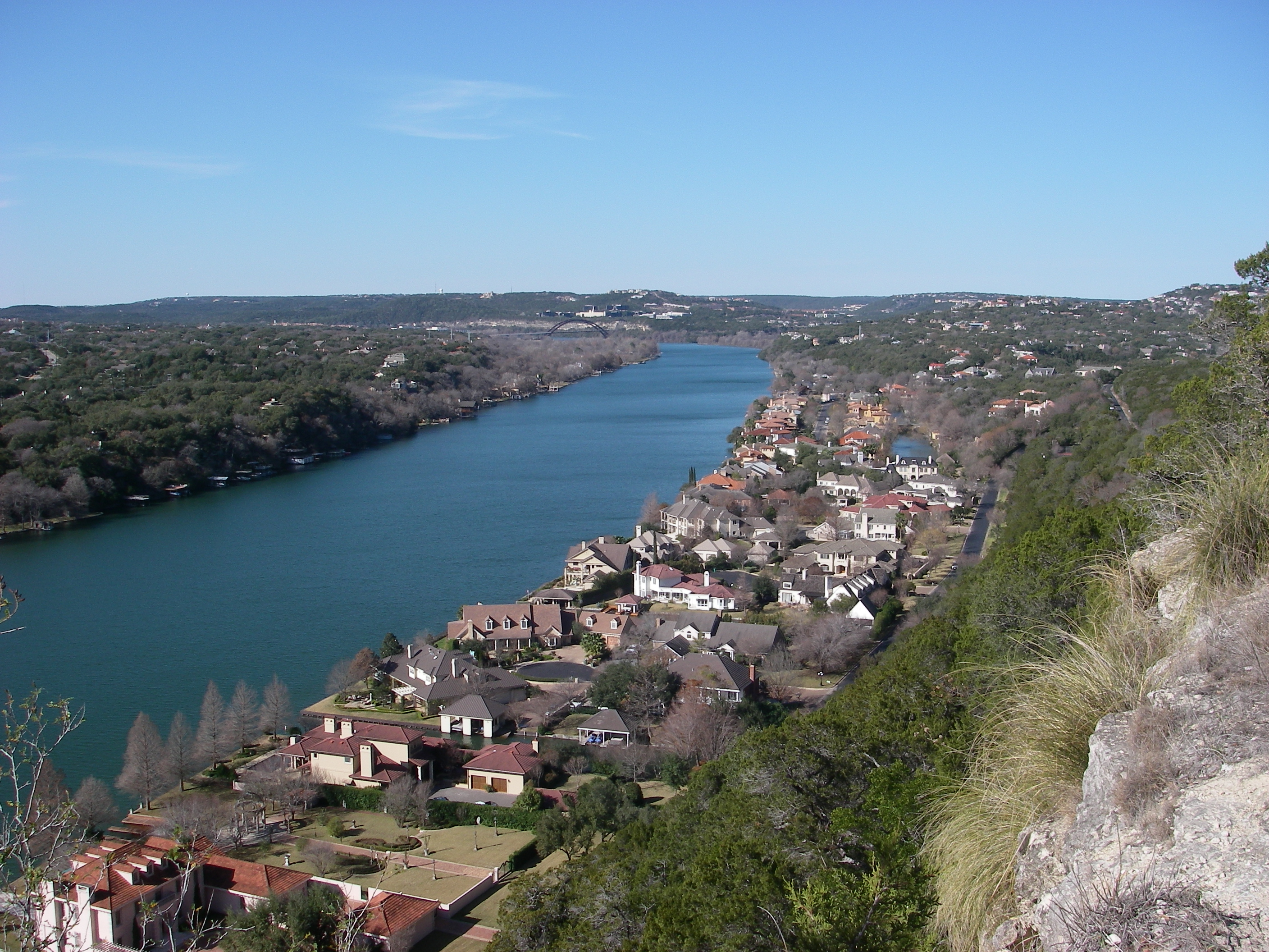
English: View from atop Mount Bonnell looking northwest toward Pennybacker Bridge in Austin, Texas. |
| Tarix | |
| Çıme | Karo şexsi |
| Nuştekar | Leaflet |
| Versiyonane binan | Public domain photos of the Rolling Plains of Texas. |
| Camera location | | View this and other nearby images on: OpenStreetMap |
|---|
Lisans
| Ez, Wêrê ena teliferê, nê kari Malê şarideye ezo heserena. Dınya heme ca dı ravêreno. Tay dewletan dı no kanuniyey heta mıkum nêbone; o haldı: Ez, ena karer qande herhangi yew amaci, be şert, hendı ke legali icab nikeni, şari hemi re ezo mısade dana. |
Verêniya dosya
Seba diyayışê viyarteyê dosya ra tarixê ke qısımê tarix/zemani derê inan bıtıkne.
| Tarix/Zeman | Resımo qıckek | Ebadi | Karber | Mışewre | |
|---|---|---|---|---|---|
| nıkayên | 05:26, 15 Şıbat 2009 | | 2,816 - 2,112 (2.61 MB) | Leaflet | {{Information |Description={{en|1=View from atop Mount Bonnell looking northwest toward Pennybacker Bridge.}} |Source=Own work by uploader |Author=Leaflet |Date=December 31, 2008 |Permission= |other_versions= }} <!--{{ImageUpload|full}}- |
Gurenayışê dosya
There are no pages that link to this file.
Gurenayışê dosyaya gılovere
Ena dosya wikiyanê binan de gureniyena.
- af.wikipedia.org sero guriyayış
- arz.wikipedia.org sero guriyayış
- be.wikipedia.org sero guriyayış
- bn.wikipedia.org sero guriyayış
- cs.wikipedia.org sero guriyayış
- cv.wikipedia.org sero guriyayış
- da.wikipedia.org sero guriyayış
- en.wikipedia.org sero guriyayış
- eo.wikipedia.org sero guriyayış
- fi.wikipedia.org sero guriyayış
- fi.wiktionary.org sero guriyayış
- fr.wikipedia.org sero guriyayış
- ha.wikipedia.org sero guriyayış
- hu.wikipedia.org sero guriyayış
- hy.wikipedia.org sero guriyayış
- ia.wikipedia.org sero guriyayış
- id.wikipedia.org sero guriyayış
- ja.wikipedia.org sero guriyayış
- lt.wikipedia.org sero guriyayış
- no.wikipedia.org sero guriyayış
- pt.wikipedia.org sero guriyayış
- ru.wikipedia.org sero guriyayış
- sd.wikipedia.org sero guriyayış
- sh.wikipedia.org sero guriyayış
- www.wikidata.org sero guriyayış
- xmf.wikipedia.org sero guriyayış
- zh.wikipedia.org sero guriyayış